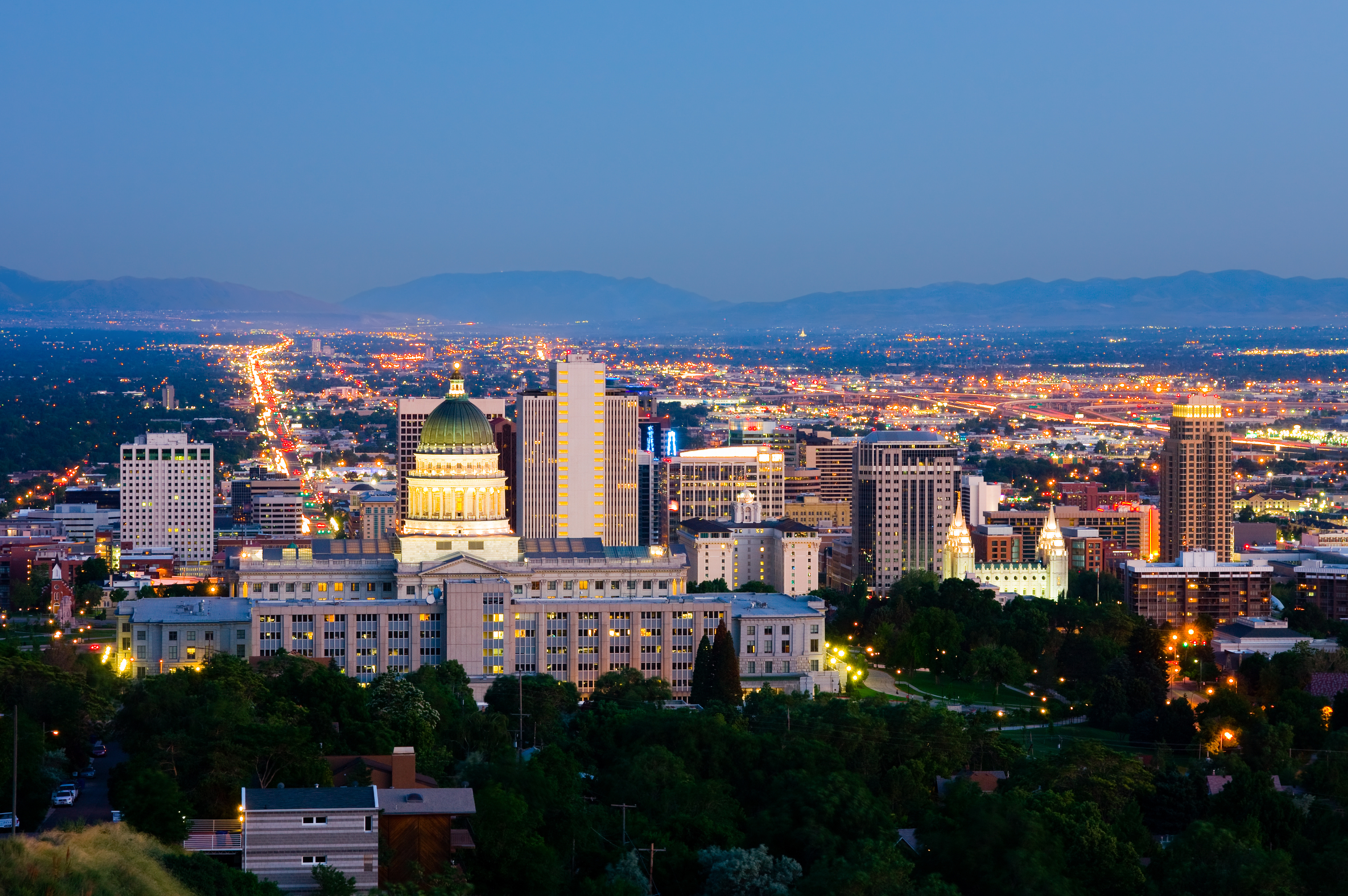
PROVO — Provo Mayor John Curtis released the city’s proposed plan for the downtown area Tuesday and the city council is asking for public input.
The downtown master plan is a guide for the future of downtown Provo and encompasses five planning districts — Downtown North District, Downtown Central District, Gateway District, South Temple District and the Transit District, according to the Provo City website.
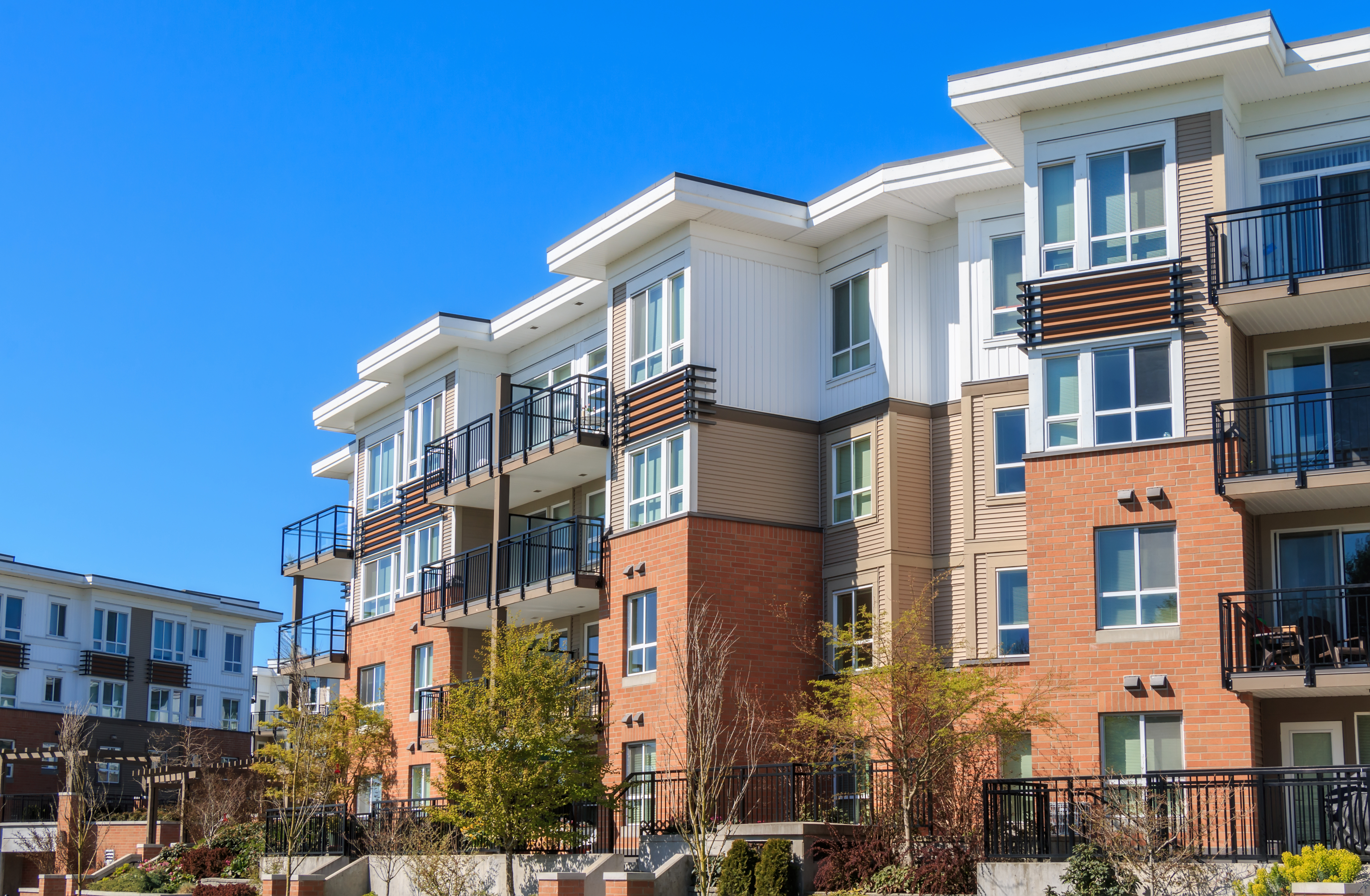
The downtown area currently has nearly 23 acres of land under public ownership with about 16 acres slated for redevelopment. The redevelopment plans include relocating the Provo City Center, redeveloping the current City Center property into a downtown entertainment district, building a new downtown hotel, creating more residential units and providing more parks and open space, the website said.
Pocket Parks
The master plan includes transforming several vacant lots into pocket parks that fit well into the built environment, the website said. The pocket parks would include “passive” areas with benches where people could relax or “active” areas with sport courts and playgrounds.
Walkability
The plan also emphasizes improving pedestrian walkways and expanding the downtown bicycle and transit network as well as making the paths more interconnective. A new pedestrian way was proposed that would run from 600 South to 200 South mid-block between University Avenue.
Pedestrian trails were also proposed along 600 South, 500 West and Center Street. These proposed trails should connect with the existing Provo River Trail and other pedestrian routes to create a working trail network through downtown Provo.
Bike Lanes
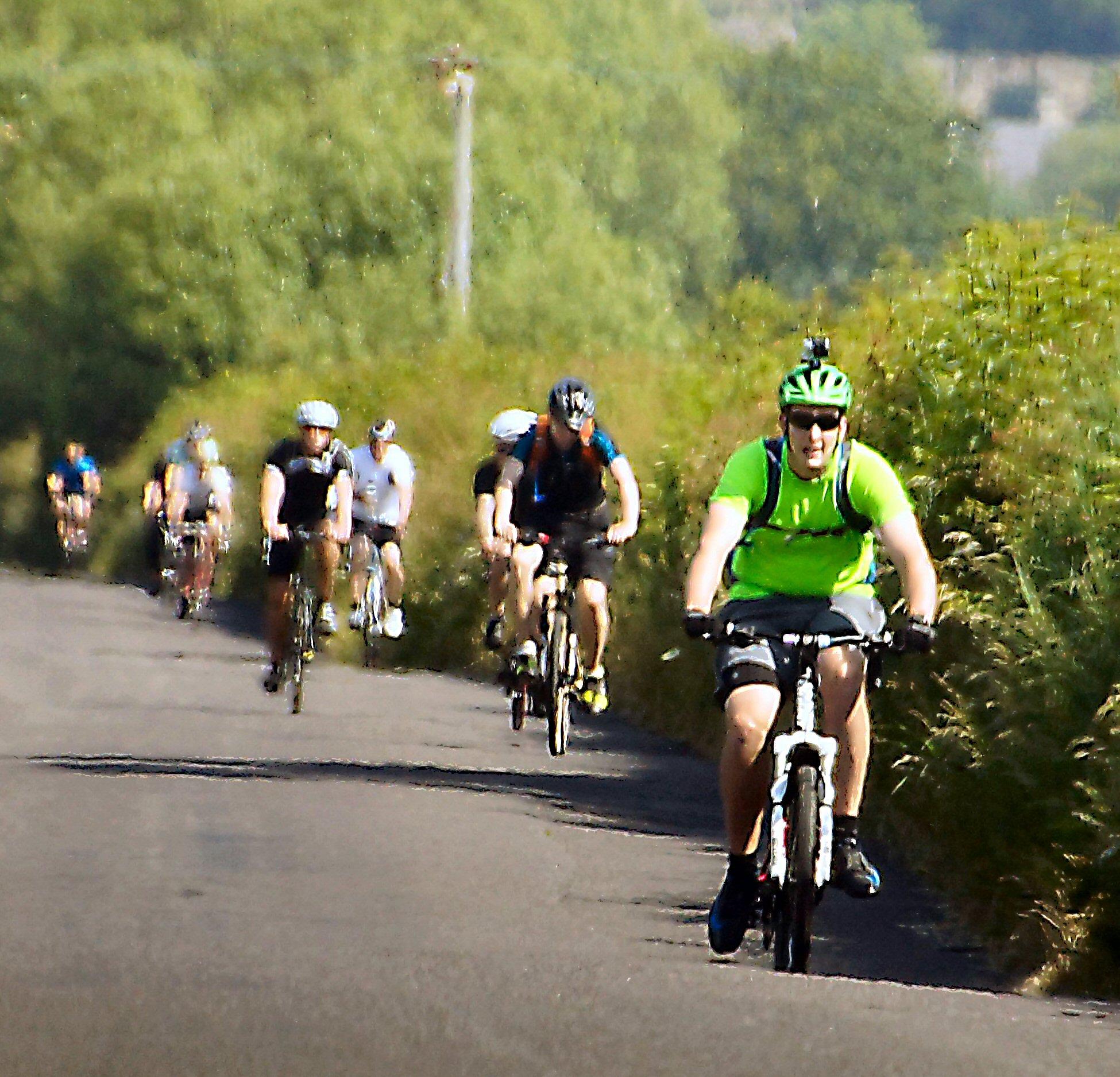
Plans would increase bike lanes all the way through the downtown area on Freedom Boulevard, 900 West and on most of University Avenue, the website said. It would also include a bike boulevard circling downtown on 300 West, 200 North, 700 West, 200 South, 400 South and 200 East. A sidepath for biking would also run on 300 South.
Public Transit
The proposed Provo/Orem bus rapid transit line is also part of the plan to increase public transportation throughout the downtown area. The line would run through downtown as a “multi-way boulevard” on University Avenue from 500 North to 600 South and would allow the bus to bypass traffic and signals with little delays, the website said.
The proposed increase in public transportation also includes designing better access and “walkability” within .25 miles of each of the bus rapid transit stations. A network of street connections between 200 West and 500 West from 600 South to 920 South was also proposed to increase the accessibility to public transit.
Historic Buildings
While past regulations have been implemented to preserve the historic buildings of downtown Provo, a renewed effort would be made to maximize the retention and adaptive use of the historic areas. Updating the landscaping, signs and street furniture were also included in the plan as an effort to beautify and modernize the downtown area.
The Downtown master plan was developed in accordance with the goals of Vision 2030, an aspirational document outlining the city’s vision for the future. The plan states that each area’s plans should be developed for the delineated, unique neighborhoods within Provo, the website said.
The public can attend the city council meeting on Feb. 3 at 5:30 p.m. and give input on the proposed plan. To view the zones and full details of the master plan, click here.
Source: Faith Heaton Jolley for KSL News


